
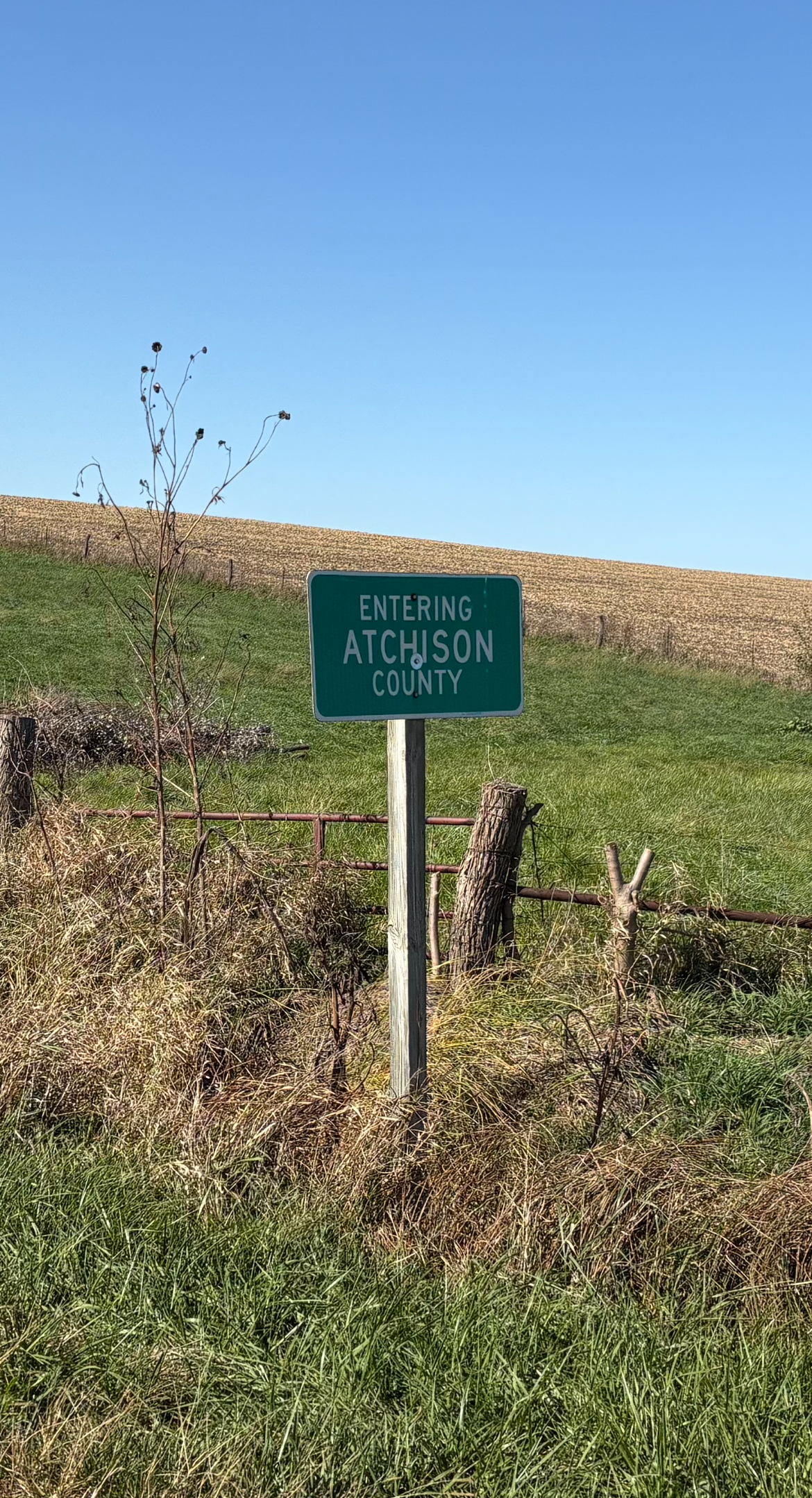
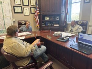
This week on Show Me Missourah, Scott traveled to the far northwestern tip of the state to explore Atchison County—where Missouri meets the wide-open prairie and the Missouri River bends toward Iowa and Nebraska. Joined by two of the local county commissioners, he uncovered the deep roots of a county shaped by pioneers, border disputes, and the rugged spirit of its earliest settlers.
A Little About Atchison County
Founded on February 14, 1845, Atchison County became Missouri’s 83rd county, covering 550 square miles of rolling prairie and river bottom—the most northwestern corner of “Missourah” you can stand in. The county was named for U.S. Senator David Rice Atchison, who local lore famously claims served as “President for a day.” Before receiving its permanent name, the county was briefly known as Allen County.
Long before American settlers arrived, the region saw movement and habitation along the Nishnabotna River, where a small French colony is believed to have existed. By the mid-1830s, Major Stephen Cooper became one of the first documented settlers. Around 1836 he received a permit from the governor to farm alongside the Pottawatomie Indians, establishing a settlement about four miles south of today’s Sidney, Iowa. A few years later, in 1839, Hank Roberts and Thomas Wilson built sod houses near what would become Sonora—marking the beginnings of more permanent settlement.
The first county court was held in February 1845 at the home of Conrad Cloepfil, with Alexander McElroy, David Hunsaker, and Elijah Needles serving as commissioners. Early boundary disputes with Iowa led to a U.S. Supreme Court decision that shifted portions of surveyed townships north of the line—moving entire chunks of “Missouri” into Iowa and altering the county’s shape.
Atchison County’s original seat was Linden, where its first courthouse—a modest 20-by-30-foot, two-story wood-frame building—was constructed in 1846 for $475. After the Honey War boundary clarification placed Rock Port more centrally within Missouri’s line, the county seat was moved there in 1856. Rock Port’s first courthouse, designed by W.H. Dunbar and accepted in 1858, was planned as a $6,000 building but ultimately cost $12,000. Condemned in the 1880s and later sold for $600, the courthouse prompted Tarkio to offer to donate a replacement—but the seat remained in Rock Port.
A new courthouse, designed by architect F.A. Foster, was completed on May 9, 1883. The county contributed $15,000 and local citizens added another $10,000. That structure still serves Atchison County today.
During the Civil War era, Atchison County saw no large battles, but the conflict reached its borders in the form of “Bleeding Kansas” tensions, bushwhacker violence, and scattered skirmishes. Another regional dispute emerged in 1867 when a major Missouri River flood cut a new channel, creating the 5,000-acre McKissick Island. Both Missouri and Nebraska claimed the land until the U.S. Supreme Court ruled in 1904 that it belonged to Nebraska.
Education also left a significant mark on the county. Tarkio College—founded in 1883—operated for more than a century before closing in 1991. Today, the campus lives on as the Tarkio Technology Institute.
In recent history, Atchison County has gained national attention for innovation. In 2008, Rock Port became the first community in the United States to be powered entirely by wind energy.
From early French colonies and pioneer sod houses to courthouse battles, Civil War unrest, river-carved boundaries, and renewable-energy leadership, Atchison County’s story is one of endurance, frontier grit, and true Missouri character.